 Signalized Intersection
 Un-Signalized Intersection
DATA SUMMARY
INT
Intersection
WKD
Week Day
WKND
Week End
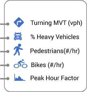
Turning Movements
% of Heavy Vehicles
Bikes
Pedestrians
Peak Hour Factor
DWN
Download Traffic Count Files
Bulk DWN
Summarized Traffic Data
2012 Turning Movements Heat Map

LEGEND
Intersection Information
- Intersection ID: 10032
- Intersection type: Unsignalized
- Major Street: Mall E Driveway/target Driveway
- Minor Street: East 20th Street
AM Peak Hour Intersection Turning Movements
Mall E Driveway/target Driveway / East 20th Street
- 61
- 51
- 4
- 6


- 47

- 902
- 952

- 3
- 33

- 916
- 802

- 81


- 33
- 2
- 87
- 122
PM Counts Period: Any Hour between 3 PM to 7 PM
Traffic Volumes variation at EB
 North
North